| Year | Arab | Total |
|---|---|---|
| 1931 | 258 | 258 |
| 1944/45 | 330 | 330 |
| Year | Arab | Public | Total |
|---|---|---|---|
| 1944/45 | 3214 | 2 | 3216 |
| Use | Arab | Public | Total | ||||||||||||
|---|---|---|---|---|---|---|---|---|---|---|---|---|---|---|---|
|
726 | 2 | 728 (23%) | ||||||||||||
|
2488 | 2488 (77%) |
The village stood on a hill that sloped toward the northwest in the western foothills of the Hebron Mountains. A dirt path that turned into a secondary road at the village of Summayl, to the southwest, linked the village to the highway between the city of al-Majdal (on the coast) and Hebron. In the late nineteenth century, Barqusya, a moderate-sized village, had a roughly pentagonal outline, its houses built of stone and mud.
During the first decades of this century construction grew at a slow pace, most of the expansion taking place northward along the road to the village of Bi'lin, to the northwest. But during the final years of the Mandate, one of the village's two hama'il (clans, sing. hamula) moved about 1 km to the south, and the outline of the village was also stretched southward. The village had a handful of small shops and a small mosque. The children attended school in the village of Tall aI-Safi, to the northwest. To the west of the village was a well that had supplied the village with drinking water since the late nineteenth century. Agriculture, which represented the mainstay of the economy, was rainfed. The residents cultivated chiefly grain but also tended fruit trees. In 1944/45 a total of 2,460 dunums was allocated to cereals 28 dunums were irrigated or used for orchards. In addition to crop cultivation, the villagers raised sheep and goats.
Barqusya was captured during the attacks carried out in the course of Operation An-Far. This probably occurred on 9-10 July 1948, during the period that separated the two truces.
By the following month, the Jewish National Fund (JNF) had already planned a settlement for the site. On 20 August 1948, a JNF plan was submitted to the Israeli authorities showing two settlements on the land of Barqusya and nearby Summayl. The two villages were to be replaced by settlements named Segula and Nachala, according to Israeli historian Benny Morris.
There are no settlements on village lands. The settlements of Segula and Nachala are close by, to the southwest they are on the lands of Summayl, across the boundary between the Hebron and Gaza sub-disctricts.
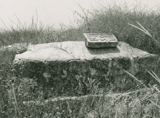
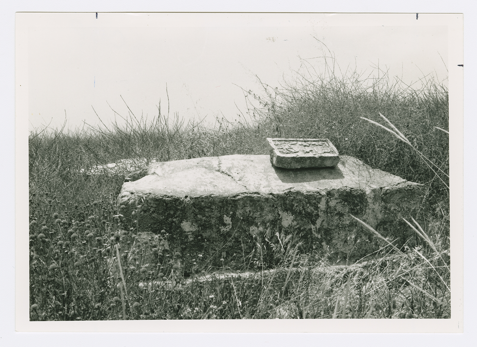
No houses remain. Some graves can be seen amidst foxtail and khubbayza (mallow) plants. One of the graves has an inscribed tombstone resting on the superstructure. There are also the remnants of a well. Cactuses and a variety of trees, including palms, grow on the site. The site serves as grazing grounds for the sheep of Israeli farmers who also grow grapes and other fruits.
Related Content
Violence
End of First Truce: Israeli Operations An-Far, Dani and Qedem
1948
8 July 1948 - 17 July 1948

