| Year | Arab | Total |
|---|---|---|
| 1931 | 234 | |
| 1944/45 | 330 | 330 |
| Year | Arab | Jewish | Public | Total |
|---|---|---|---|---|
| 1944/45 | 3127 | 1273 | 6090 | 10490 |
| Use | Arab | Jewish | Public | Total | |||||||||||||||
|---|---|---|---|---|---|---|---|---|---|---|---|---|---|---|---|---|---|---|---|
|
100 | 22 | 218 | 340 (3%) | |||||||||||||||
|
3027 | 1251 | 5872 | 10150 (97%) |
The village stood on a hill 1 km north of Wadi Zayta. It was linked by a dirt track to 'Iraq al-Manshiyya, which was located on a highway that ran from east to west between the city of al-Majdal on the coast and Bayt Jibrin. The old Zayta (Khirbat Zayta al-Kharab, 133115) was located 1.5 km south of this village on the southern bank of the wadi. (Because the wadi's stagnant waters bred insects and diseases, the population was moved during the Mandate to the new site.) In 1596 Zayta was a village in the nahiya of Gaza (liwa' of Gaza), with a population of 165. It paid taxes on wheat, barley, goats, and beehives. In the late nineteenth century, Zayta was described as a small hamlet on the edge of the wadi, flanked on two sides by low hills and built of adobe brick.
The new village of Zayta was laid out in a northeast-southwest direction its houses were built of mud, wood, and cane, and its population was Muslim. Drinking water was supplied by artesian wells, most of which were dug south of the village, near Wadi Zayta, where the underground water level was close to the surface. Another well was located north of Zayta. The villagers worked mainly in rainfed agriculture and stock raising, specializing in goats and sheep. They cultivated grain on large tracts of the land and utilized the rest as grazing land for their animals. In 1944/45 a total of 3,027 dunums was allocated to cereals.
Zayta was one of the villages captured during Operation An-Far . Israeli historian Benny Morris indicates that Zayta was occupied at the very end of this offensive, on 17-18 July 1948, but the History of the War of Independence states that the occupation occurred around a week earlier, on 9-10 July.
There are no Israeli settlements on village lands. About a month after the occupation of the village, the Jewish National Fund submitted a settlement plan to the Israeli cabinet which called for establishing a kibbutz on the village site. The 20 August blueprint called this settlement Kibbutz Gal-On, according to Morris. Other sources, however, state that a kibbutz called Gal-On was already in place on land that traditionally belonged to the village of Ra'na it was established early in 1947, only 2 km east of the village site.
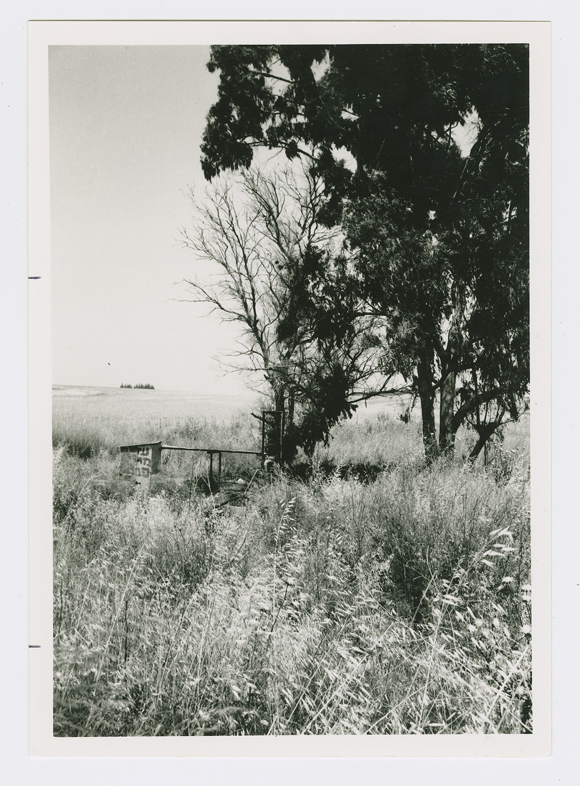
There are no traces of houses; only a well, still in use, is left. Tall grasses, wild flowers, and trees cover parts of the site. The surrounding lands are cultivated by Israeli farmers.
Related Content
Violence
End of First Truce: Israeli Operations An-Far, Dani and Qedem
1948
8 July 1948 - 17 July 1948

