| Year | Arab | Total |
|---|---|---|
| 1931 * | 1135 | |
| 1944/45 | 40 | 40 |
| Year | Arab | Public | Total |
|---|---|---|---|
| 1944/45 | 3804 | 68 | 3872 |
| Use | Arab | Public | Total | ||||||||||||
|---|---|---|---|---|---|---|---|---|---|---|---|---|---|---|---|
|
1308 | 68 | 1376 (36%) | ||||||||||||
|
2496 | 2496 (64%) |
The village stood on a hill that sloped gently to the north, on the eastern edge of the coastal plain. Hills surrounded it on all sides except the south, where it overlooked a wadi. AI-Kunayyisa lay less than 2 km to the northeast of the Ramla-Jerusalem highway, and was linked to it-and to neighboring villages as well-by dirt paths. The village was established over an earlier settlement whose ruins contained building foundations, fallen masonry, cisterns, and rock-cut tombs. Most of its inhabitants came from the adjacent villages of 'Innaba and al-Qubab to farm the land, and gradually they settled there. All of the villagers were Muslims; their adobe brick houses were clustered together, separated only by narrow alleys. Rainfed agriculture constituted the backbone of their economy and was based on grain cultivation. The villagers also cultivated citrus and olives in the northern and southern parts of their lands, which they irrigated from nearby wells. In 1944/45 a total of 2,432 dunums was planted in cereals; 64 dunums were irrigated or used for orchards. To the east of al-Kunayyisa lay a khirba which contained rough stone walls, building foundations, and rock-hewn cisterns.
Israeli units entered the village on 10 July 1948, at the beginning of Operation Dani (see Abu al-Fadl, Ramla sub-disctrict) and as a prelude to the occupation of Lydda and Ramla. Afterwards, the Yiftach Brigade reported on al-Kunayyisa and the neighboring village of Kharruba as follows: 'After blowing up the houses and cleaning up the village-our troops occupied strongpoints overlooking the village.' The fate of the villagers is not recorded.
There are no Israeli settlements on village lands; Kibbutz Mishmar Ayyalon (144142) is close by, to the south, on the lands of al-Qubab.
From a distance, the site looks like a big stone pile overgrown with a thicket of thorns (see photos). More than thirty partially destroyed buildings, including houses, still stand. The remains of arched doors and windows are visible. Fig, almond, olive, and pomegranate trees and cactuses grow among the buildings. The lands in the vicinity are cultivated by the nearby kibbutz; some are planted in cotton.
Related Content
Violence
End of First Truce: Israeli Operations An-Far, Dani and Qedem
1948
8 July 1948 - 17 July 1948
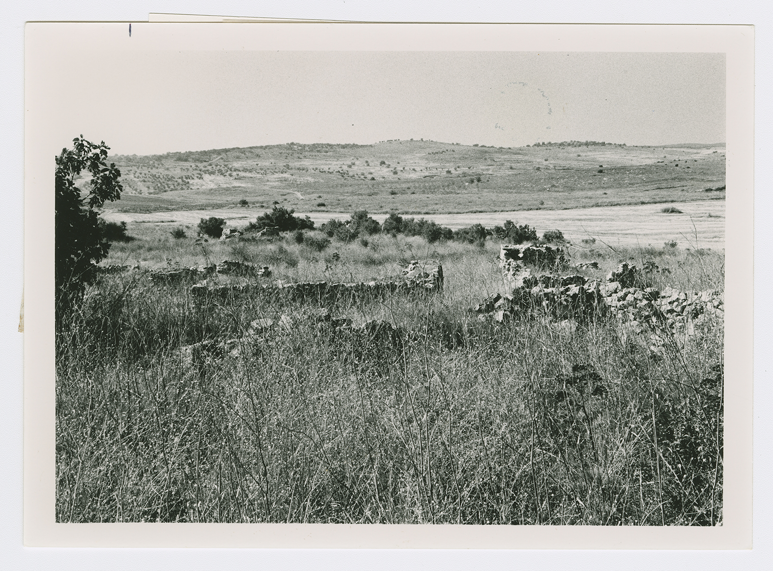
A view northwestwards from the center of the village site.
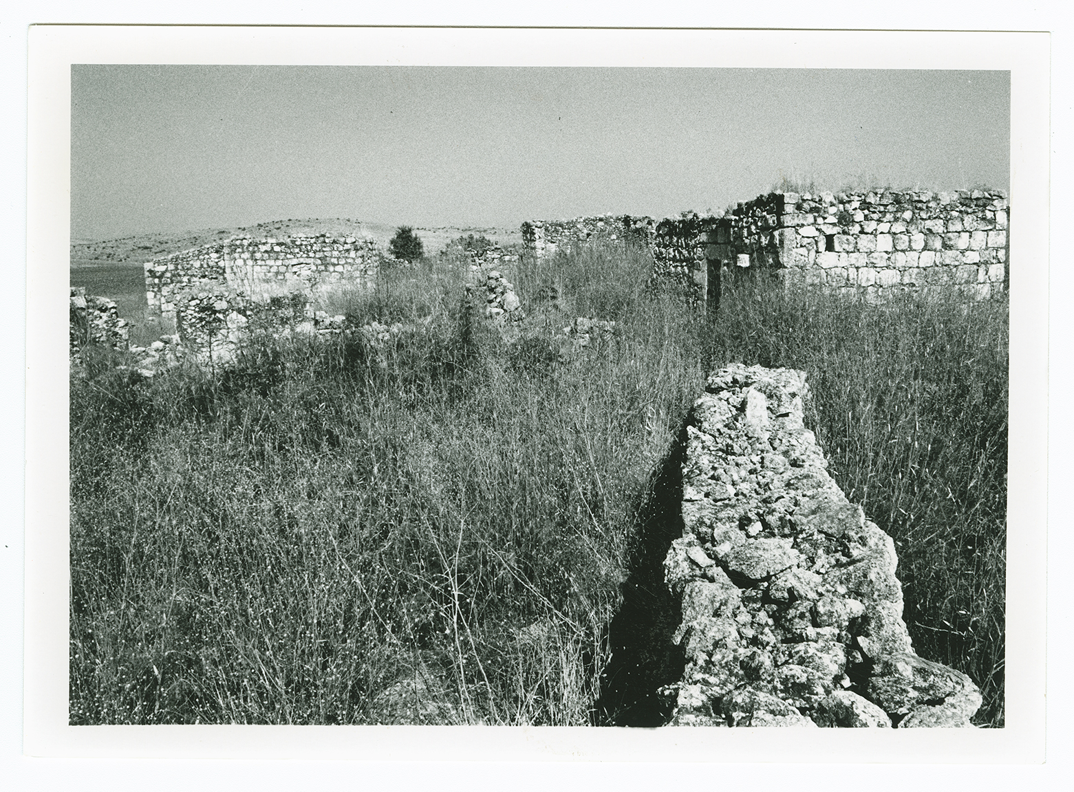
A group of roofless houses on the east side of the village site. View from west to east.
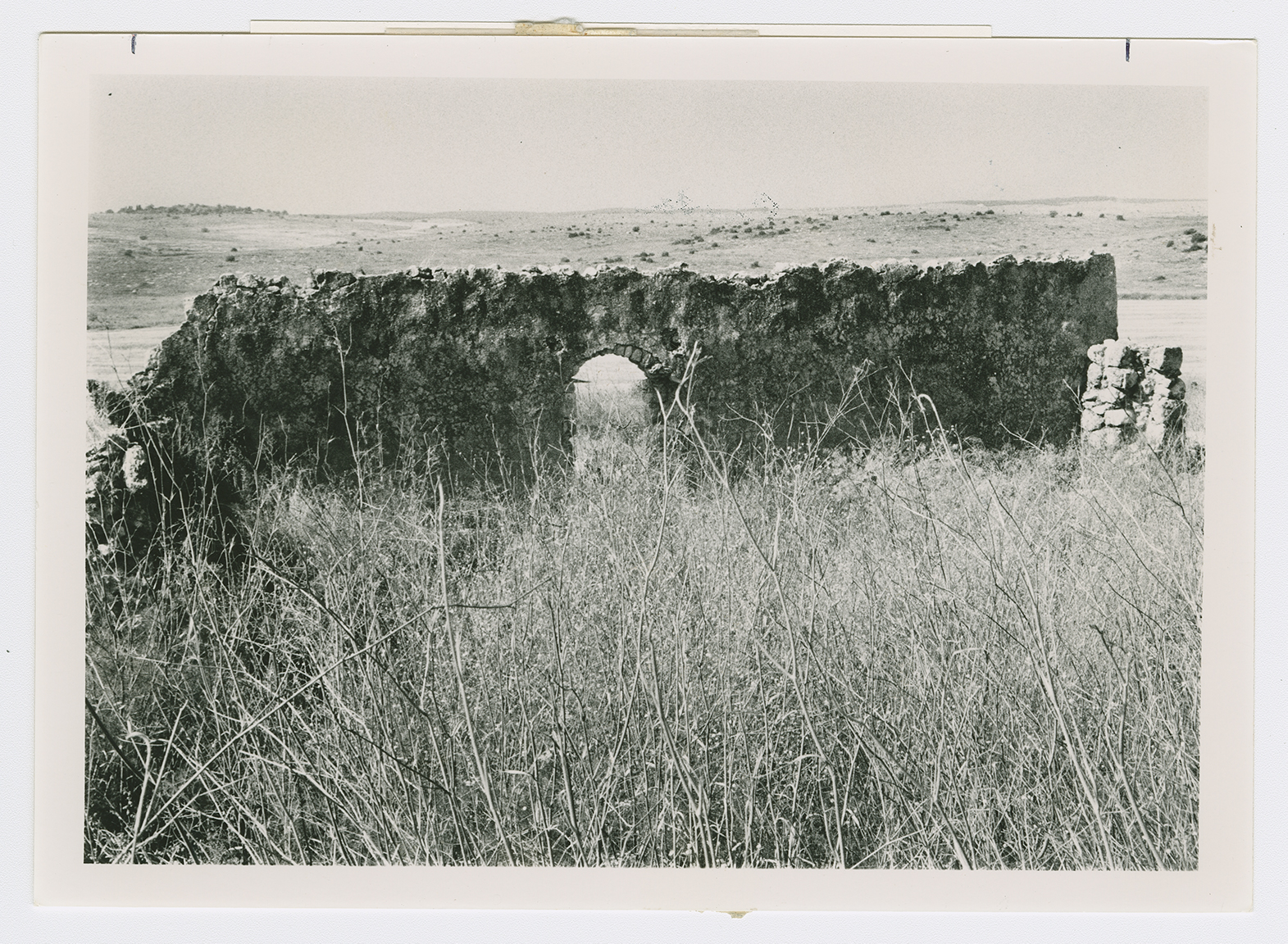
A house wall.
