| Year | Arab | Total |
|---|---|---|
| 1931 | 188 | 188 |
| 1944/45 | 290 | 290 |
| Year | Arab | Public | Total |
|---|---|---|---|
| 1944/45 | 3486 | 1923 | 5409 |
| Use | Arab | Public | Total | ||||||||||||
|---|---|---|---|---|---|---|---|---|---|---|---|---|---|---|---|
|
220 | 1918 | 2138 (40%) | ||||||||||||
|
3266 | 5 | 3271 (60%) |
The village stood on the narrow coastal plain south of Atlit, on a sandstone hill that was only slightly higher than the surrounding area. Secondary roads linked it to several nearby villages as well as to the coastal highway that ran 2 km to the east. The Crusaders referred to it as Sarepta Yudee. In 1596, al-Sarafand was a village in the nahiya of Shafa (liwa' of Lajjun), with a population of sixty-one. It paid taxes on a number of crops, including wheat and barley, as well as on goats and beehives.
In the late nineteenth century, al-Sarafand was situated on a ridge between a plain and the beach. An estimated 150 people lived in it and cultivated 16 faddans (1 The village's general orientation was north-south, and its houses, made of stone and either mud or cement, were clustered together. Its population was Muslim. More than ten wells provided water for domestic use. The village economy depended on agriculture, animal husbandry, and salt making. The primary crops were various kinds of grain. Date palms were also planted in small patches on the western side of the village land. In 1944/45 a total of 3,244 dunums was allocated to cereals; 22 dunums were irrigated or used for orchards.
On 16 July 1948, two Haganah ships directed fire at the village of al-Sarafand to provide cover for the main attack by land. This was the first instance of cooperation between Israeli ground and naval forces in a military attack, according to the History of the War of Independence. The operation, one of the minor offensives launched during the ten-day period between the two truces of the war, resulted in the occupation of nearby Kafr Lam. Its residents may have been expelled following its occupation, as were those of neighboring al-Tira, which was occupied on the same day.
On 3 August 1948, the kibbutz of Neve-Yam wrote to the Israeli Agriculture Center asking to be handed over the lands of al-Sarafand. Israeli historian Benny Morris quotes the settlers as saying that the depopulation of the village had 'opened up the possibility of [a] radical solution which once and for all could give us sufficient land for the development of [our] settlement.'
In 1949, Israel established the settlement of Tzerufa (145228), 1 km northeast of the village site, on village land. The settlement of Geva' Karmel (146229), also built in 1949 east of the site, was established on the lands of the neighboring village of Jaba'.
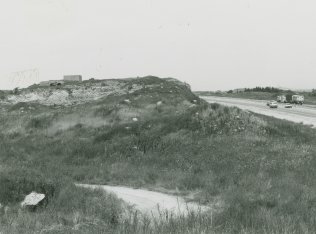
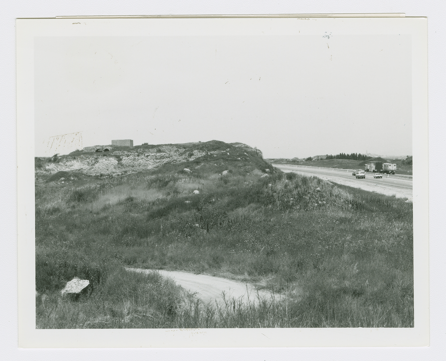
Only one house, a large structure with two arches in front, has been spared. The Tel Aviv-Haifa highway crosses part of the site another part, fenced in with barbed wire, is overgrown with thorns and cactuses.

