| Year | Arab | Total |
|---|---|---|
| 1931 | 697 | |
| 1944/45 | 1010 | 1010 |
| Year | Arab | Jewish | Public | Total |
|---|---|---|---|---|
| 1944/45 | 3885 | 271 | 191 | 4347 |
| Use | Arab | Jewish | Public | Total | |||||||||||||||
|---|---|---|---|---|---|---|---|---|---|---|---|---|---|---|---|---|---|---|---|
|
938 | 117 | 187 | 1242 (29%) | |||||||||||||||
|
2947 | 154 | 4 | 3105 (71%) |
The village was situated on a limestone hill on the western slope of the Ramallah Mountains, overlooking the coastal plain. A highway from Ramla that led north toward Tulkarm passed 0.5 km west of it, linking it to Tulkarm and other urban centers as well. A number of secondary roads connected it to neighboring villages. QuIa was constructed on the site of a Crusader fortress known as Cola or Chola. In 1596, Qula was a village in the nahiya of Ramla (liwa' of Gaza) with a population of 380. It paid taxes on goats and beehives and a press that was used for processing either olives or grapes. In the late nineteenth century, the village of QuIa was situated on a slope at the edge of a plain; its historical relics dated back to medieval times.
Most of the houses were made of adobe and were scattered along the network of roads that crossed the village, giving it a star-like shape. During the Mandate, however, house construction expanded along the aforementioned highway. Qula's population was predominantly Muslim. At the village center was a mosque, a number of small shops, and a school, founded in 1919, in which 134 students were enrolled in the mid-1940s. The villagers cultivated grain, vegetables, and fruit and olive trees; their crops depended for the most part on rainfall. In 1944/45 a total of 2,842 dunums was allotted to cereals; 105 dunums were irrigated or used for orchards. The orchards were planted chiefly in the southeast and southwest. The village contained ruins from pre-Ottoman times, and four khirbas lay east of it.
QuIa changed hands a total of four times before being held by Israeli forces. It was first occupied by units of the Armored and Alexandroni Brigades of the Israeli army after a 'heated battle' on 10 July 1948, according to the History of the War of Independence. At the time, the New York Times correspondent wrote that QuIa was 'situated at an important crossroads north of Lydda on the Arab supply lines from Ramallah and Nablus.' The village was briefly regained a few days later, on 16 July, by an armored column and infantry unit of the Arab Legion (which lost three men in the process), according to Palestinian historian 'Arif al-'Arif. That same afternoon, Israeli units of the Armored Brigade and two infantry platoons recaptured it in a counterattack. However, it fell back into Arab hands the following day, only to be lost again to units of the Alexandroni Brigade. The History of the War of Independence states that Israeli forces incurred 'heavy losses' in the battles over the village.
Qula was one of fourteen villages designated for partial destruction by Israeli prime minister David Ben-Gurion on 13 September 1948.
There are no Israeli settlements on village land. The settlement of Giv'at Koach (144159) was established in 1950 on the lands of al-Tira, 2 km southwest of the village site.
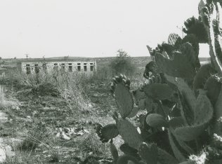
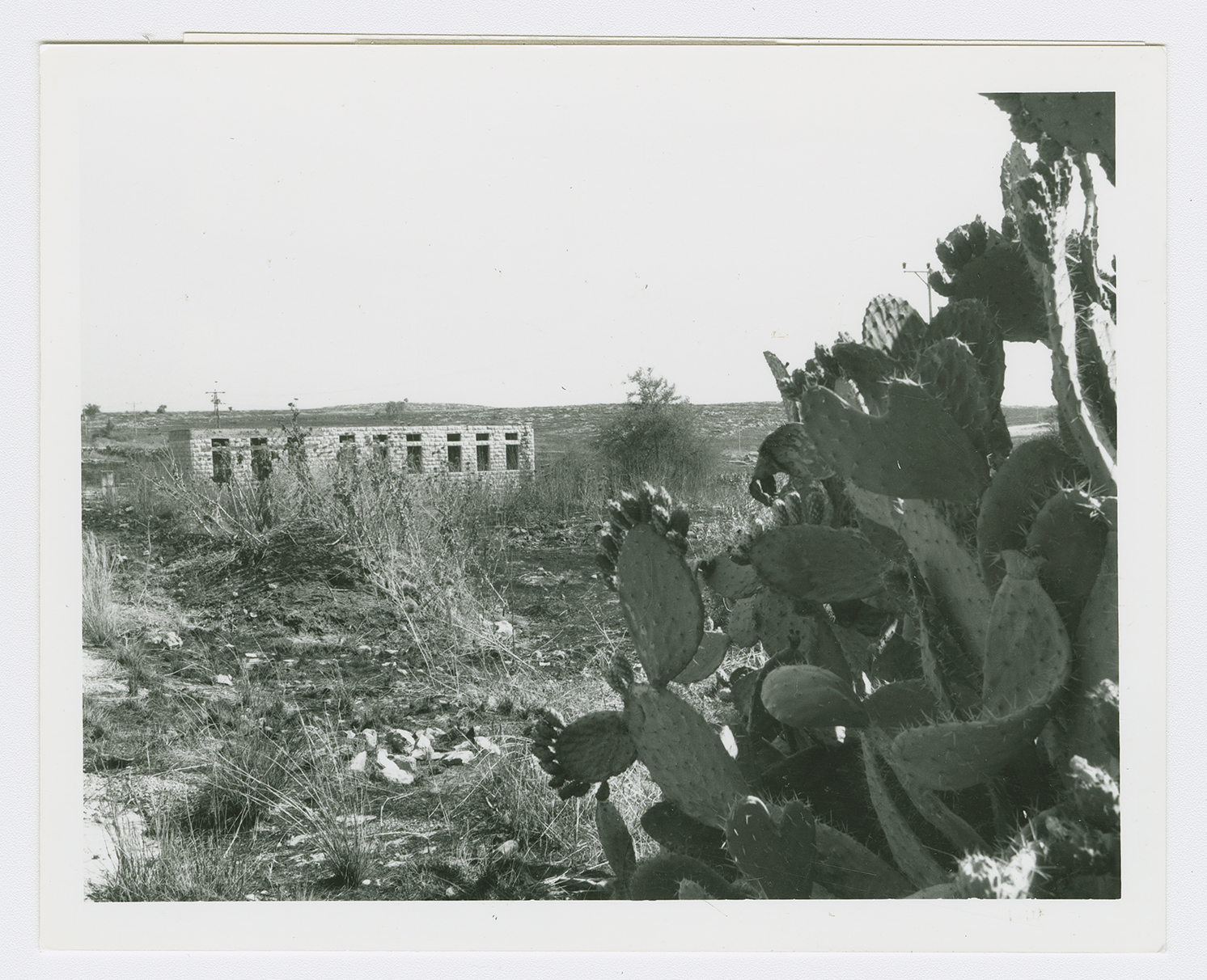
A forest covers much of the village site. The rubble of crumbled houses and terraces lies among the trees, and cactuses and fig, mulberry, and eucalyptus trees grow there as well. The only remaining landmark is the school, on the west side of the site. The hilly parts of the surrounding land are used for grazing animals; the rest of the land is cultivated.

